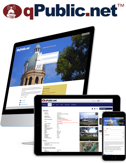
qPublic.net is the e-government solution that allows citizens to view local government information and public records online.
qPublic.net combines both web-based GIS data reporting tools including CAMA, assessment, and tax into a single, user friendly web application that is designed with your needs in mind. Read More >>
Please see:Colorado Assessor Websites
Connecticut Assessor Websites
Georgia Assessor Websites
Kentucky Assessor Websites
Louisiana Assessor Websites
South Carolina Assessor Websites
SITE
qPublic.net never sleeps. Over half of the usage happens when the offices are closed.
Reports
A detailed report (parcel summary; residential dwelling, tax administration & CAMA, valuation, tax history, taxation, photos, sketches, & more) viewed all on one page.
Report task options: email link and user-friendly print tab.
Our reports page and map viewing components are well designed for easy viewing and printing.
Search
Our robust search tools can support search by name, address, parcel ID, or by using the map.
With the advance search modules you can search neighborhoods, plats, doing business as (DBA), as well as comparable properties search.
GIS Capabilities
No new hardware. No app or plug-in needed. Runs on web browser.
Parcel map features are linked to data reports.
Layers can include: Parcels, Major Roads, Soils, Water, Bridges, Zoning, School Districts, Rural Imagery Voting Districts and much more.
Special Add-ons, such as: Online Appeals Module and Online Payments.
More e-government solutions
Damage/Farm/Drain Assessment

IDAM™ is the Integrated Damage Assessment Model software used after a natural disaster to quickly and accurately assess damage with documented estimates which are produced in several formats, including FEMA forms and summary reports.

Agland™ automates the process of calculating assessments for agricultural land by using GIS technology to combine and analyze data later such as parcels, soils, and land use.

Draincalc™ is a software solution designed for drainage assessment professionals to meet everyday requirements of assessing drainage benefit.
Workflow & Asset Management

Permitting™ can dramatically reduce the time it takes to generate permits and improves customer satisfaction with easy 24/7 access.

Fleet & Equip™ is a ground breaking system for asset tracking and management, all provided through a Software-as-a-Service (Saas) model from a secure cloud based portal requiring no additional hardware investment beyond a computer connected to the web.
Data Maintenance

Ripple™ is a tool that allows you to crosscheck your disparate public records systems, improve the accuracy of the data in each of your systems, and better manage property information.

Geogear™ is a comprehensive navigation and editing tool set designed with land records management in mind.